Notícias e eventos

THE GRAPHIC REPRESENTATION OF POLITICAL SPACE. How cartography shapes our world views and why Geopolitics should care about it.

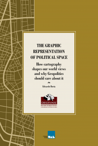
Already ONLINE and available in full the publication of our researcher Edoardo Boria, who explores political spatiality to analyse the processes of connecting regional areas and new relationships between global and regional dynamics. You can see it HERE.

OBSERVARE. 2021. All rights reserved​.

Research unit evaluated by FCT through the project UID/CPO/04155/2019. This website was restructured through financing by national funds from FCT - Foundation for Science and Technology, I.P., under the Project - Refª UID/CPO/04155/2019